
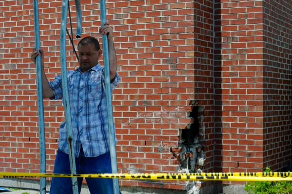
Hi, has anyone found a good way to get around the Forest Hills T station, specifically how to get from the Hyde Park entrance to South St towards Centre St, when the crosswalks are all blocked off (such as when they do night work)? I cross at Hyde Park/New Washington/Washington and then have to walk along side new washington (parallel to the southwest corridor). This area is isolated because of the tall grass which blocks visibility from the street, and especially in the evenings feels a bit unsafe. Any good alternatives?
Posts tagged as “Pedestrians”


UPDATE: That cut-through will be fenced off as the T moves the 39 Bus. We’ve added more details below.
~~~~~
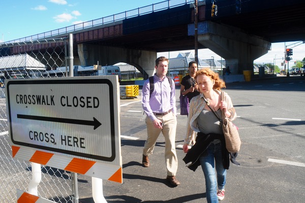
It’s a commonplace of road design: Pedestrians will make their own paths, no matter what authorities envision. That’s what’s happening in the current phase of the Casey Arborway project at the busy intersection where South meets New Washington.
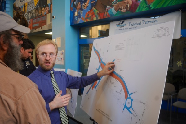

On Thursday, transportation officials broke down exactly how residents would get through Forest Hills during the next phase of the Casey Arborway project. Here are maps and explanations for pedestrians, bicyclists and drivers once lane closures begin on Saturday.

Proposal for changes to Murray Circle. Credit: Toole Design Group
A historic overhaul of the Arborway could be in the works, with the aim of improving pedestrian and bike safety. This week the Department of Conservation and Recreation held two public meetings at the Arboretum where a design firm put out a “starter idea” that’s sure to get Jamaica Plain talking: Take the big rotary where Centre meets the Arborway and turn it into two roundabouts.


Two intersections two blocks apart in Egleston Square have two distinct problems. This was brought to the attention of Acting Boston Transportation Commissioner Jim Gillooly Tuesday afternoon.

UPDATE: Here’s much more on the city’s plans.
~~~~~
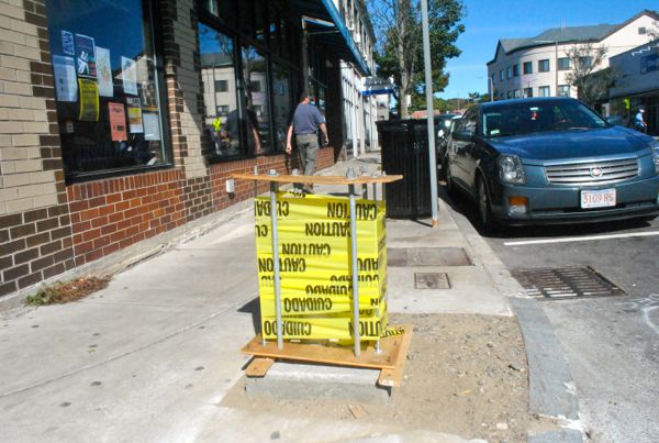
Maybe you’ve noticed the new concrete emplacements at several places along Centre Street. For me, they bring to mind my favorite old Saturday Night Live skit.